-40%
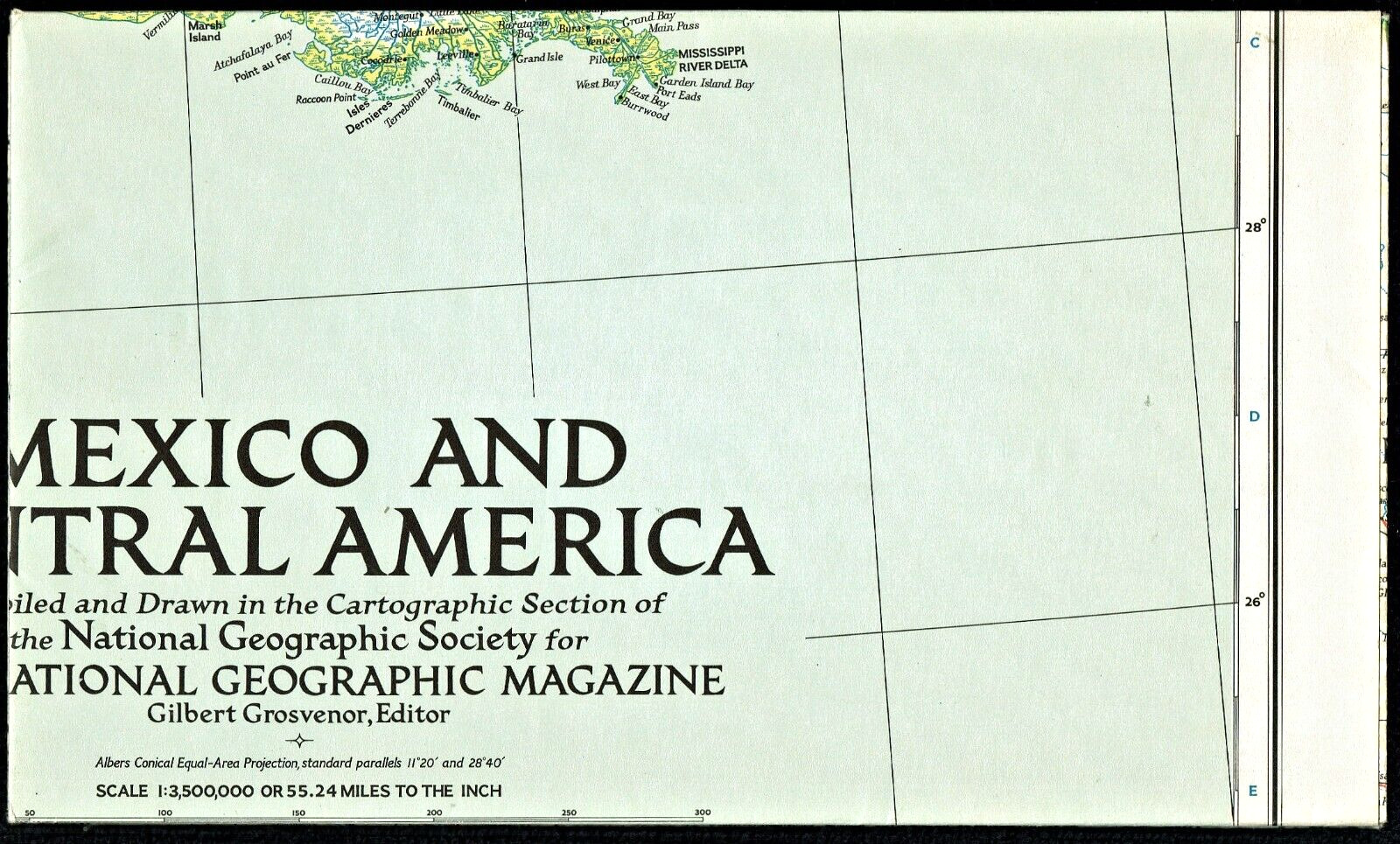
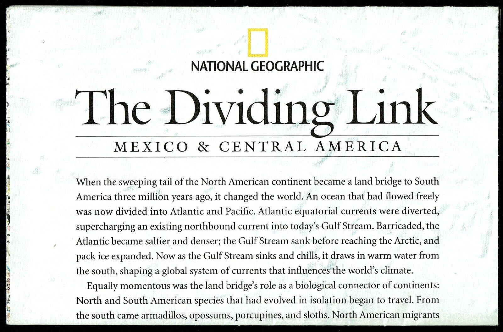
⫸ 1953-3 March Map MEXICO & CENTRAL AMERICA National Geographic - VTG #2
$ 5.01
- Description
- Size Guide
Description
⫸1953-3 March Map MEXICO & CENTRAL AMERICA National Geographic
Single-sided classic National Geographic political map of Mexico and Central America, showing Mexico through Guatemala, with a large map inset of Honduras through Panama. There are also smaller map insets of the Canal Zone, Guadalupe Island, and Revilla Gigedo Islands.
Map is approximately 27” x 37”.
The National Geographic is known for it's fine maps & detailed information.
Supplement to the National Geographic Magazine; magazine is not included.
Always use your cart when ordering more than one item (this saves you money)!
