-40%
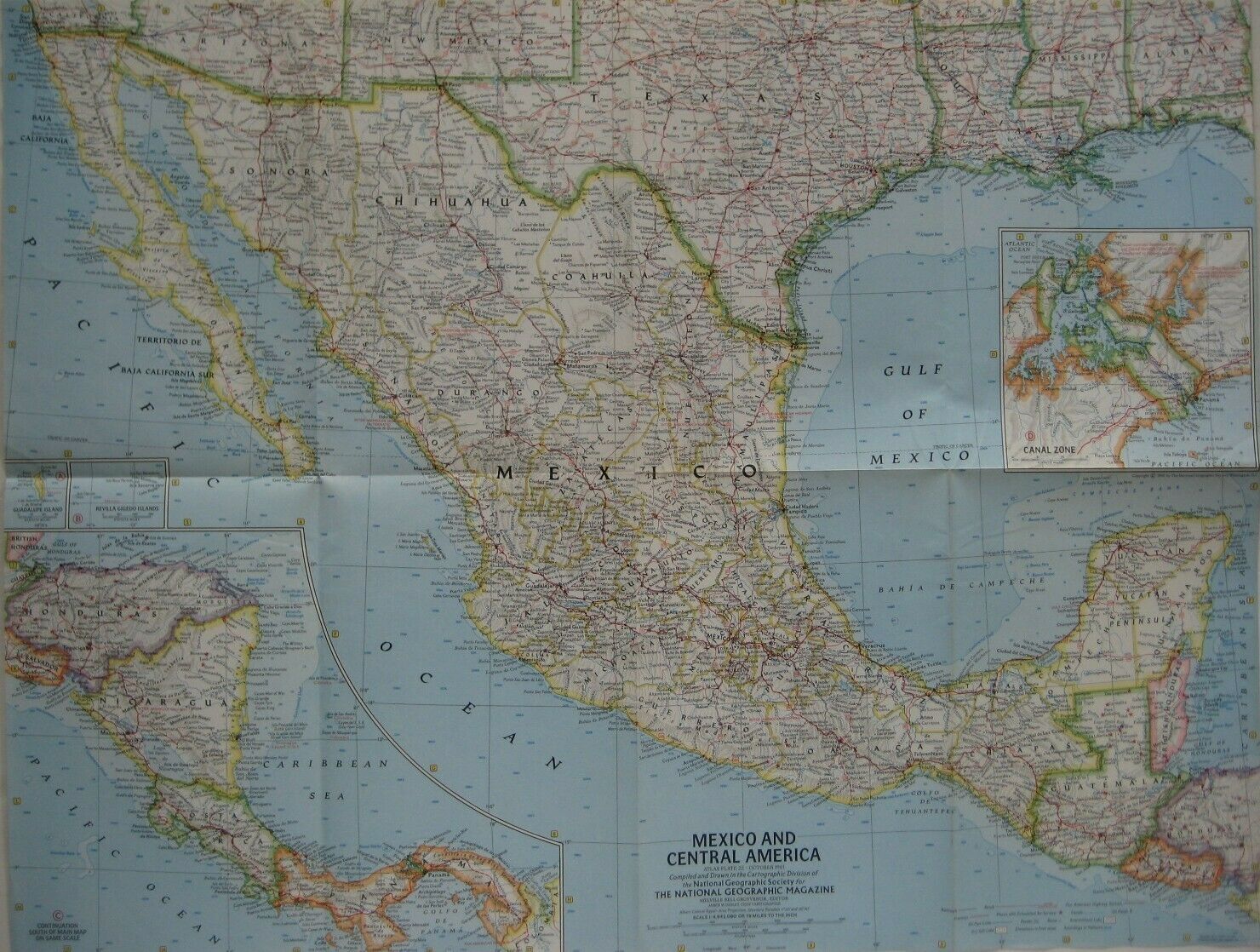
1961 Map MEXICO CENTRAL AMERICA Costa Rica Panama Canal Honduras Baja California
$ 3.69
- Description
- Size Guide
Description
Handsome color lithographed fold-out 1961 map of Mexico and Central America, printed more than 60 years ago.The map opens to 19" x 25" and is drawn on a scale of 78 miles to the inch.
The coverage area extends from Dallas, Texas to Colombia, and there are inset maps of the Panama Canal Zone and the Guadalupe and Revilla Gigedo Islands.This map was published by the National Geographic Society as a supplement to the October 1961
National Geographic Magazine
.
Condition:
It is in
excellent condition,
bright and clean, with
no
marks, rips, or tears. It folds to 9½" x 6¼" and is blank on the back, with no printing on the reverse side. Please see the scans and feel free to ask any questions.
Buy with confidence! We are always happy to combine shipping on the purchase of multiple items — just make sure to pay for everything at one time, not individually.
Powered by SixBit's eCommerce Solution
