-40%
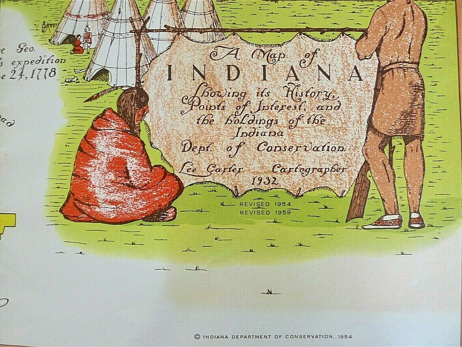
Vintage Illustrated Historical Map of Indiana "The Hoosier State" Revised 1959
$ 7.91
- Description
- Size Guide
Description
Vintage Illustrated Historical Map of Indiana "The Hoosier State" by the Indiana Department of Conservation Division of State Parks. Very informative showing Indiana history, points of interest and holdings of the Department of Conservation. Created in 1932 Revised in 1959. In original special envelope. Very good like new condition. Hard to see but very slight yellowing around Legend. Illustrated in color and printed on one side. Measures about 25" by 35"No International Shipping
